Strawberry Bush

Strawberry Bush
Strawberry Bush

The Strawberry Bush is a rather new one for me.  Steve and I found these plants, with freshly opened fruit capsules along the St. Francis River within Millstream Gardens CA this autumn.  Rare due to loss of preferred habitat, this plant prefers moist, sandy soils along stream banks.  Along with the St. Francois Mountain region, this plant also grows in extreme south-eastern Missouri.

Entrenched Meanderment

Entrenched meanderment?  What in the world is OZB going on about now?  Beveridge gives a wonderful explanation of the meandering nature of virtually all Missouri Ozark streams in “Geologic Wonders and Curiosities of Missouri”.  Within, he provides a few fascinating geological hypothesis as to the hows and whys of streams forming in such a manner with some of the hardest rock on the planet as their bed.  Think about it.  How and why would streams form in rock like this, with very little floodplain, steep cliffs/bluffs and not be straight?  Pick up Beveridge’s book to read of these hypothesis as well as learn about narrows, cutoffs and lost hills – the geologic features that are formed by these entrenched, meandering streams.

Two streams with an entrenched meandering environment on public land I have known and loved for a while.  These are the Meramec River at Vilander Bluffs N.A. and Jam Up Cave/Bluff on the upper Jacks Fork.  These are always worth a visit.  While flipping through Bryan Haynes’ book recently, I came across a panoramic painting of his that I have admired.  I saw the title: “Lee’s Bluff”.  Having never heard of this feature and the fact that his image was such a dramatic scene, I assumed that this must be found in some western wilderness, far from being a day trip destination.  I went ahead and searched the web, and to my surprise discovered this was in Missouri, along the St. Francis River and smack in the middle of those lovely St. Francois Mountains.  With Steve wearing his best navigator’s hat, we found the location pretty easily on a blustery, winter’s day.

Here’s an overview image taken with a 15mm lens.  You can see the features typical of a meandering entrenched stream, the steep bluffs formed on the outside of the bend and gentle sloping floodplains on the inside.  In the direct center you can see the “incipient lost hill” as described by Beveridge.  One day the “narrows” on the far side of that hill will succumb and a “cutoff” will form, straightening the river.

IMG_7082

   The sky was a constant change on this day.  Here Steve poses while the sun breaks through an opening.

IMG_7112

Climbing around on the steep, sharp rocks of the bluff we came across an ancient skeleton of an eastern red cedar.  The relative youngster below looks ready to take its place in another couple of centuries.

IMG_7168

Professional schlepper, navigator, and photo model.  I’m sure glad Steve works for free!  😉  Here he stands next to the old tree to give the image some perspective.

IMG_7197

The image below is probably my favorite from this day.  One of the visual beauties of these types of entrenched stream environments is that there are two S-curves in each one.  You just have to figure out where to place your camera to take advantage of it.  Under the right light and weather conditions, this place holds a lot of photographic potential, not to mention the potential for reflection and wonderment.

IMG_7203

Potholes In My Lawn

Specifically referred to as potholes, this feature was found in the long stretch of shut-ins of the St. Francis River between Silvermines Recreation Area and Millstream Gardens.  Steve and I took this, one of our favorite hikes, this autumn, just before peak color came into this section of the Ozarks.  Here is a wonderful description of this feature’s formation from Tom Beveridge’s Geologic Wonders and Curiosities of Missouri:

Potholes are formed at the nearly right-angled intersection of channelways where the direction of flow is abruptly changed.  The abrupt changes in direction of flow and the intersecting channelways create local whirlpools where the swirling waters grind out circular holes using sand and gravel carried in suspension as a natural abrasive.  Man did not invent sandblasting – he only mechanized it!  Deepening of the holes is also expedited by the steep gradient of the stream;  some holes are in part plunge pools formed by the impact of water descending vertically and gouging out the bed at the base of individual waterfalls.”

See my Flickr account for similar images made on this day.

IMG_6294

“All Seeing Eye”

A Flooded St. Francis

Early this May, Steve and I had the good fortune to visit a couple spots along our St. Francois Mountains the day after a front brought about three inches of rain to the area.  One of these spots was the Einstein Dam at Silvermines Recreation Area (St. Francis N.A.).  The power of the water surging through the breaks in the dam was mesmerizing.  A sense of near vertigo became apparent as I stared into the sheet of water that dropped nearly ten feet downstream.  I knew Steve would have almost no chance if he slipped into this torrent, but my photo needed some scale!  So I asked him to have a seat on the edge.

IMG_4449

We arrived with little light left, but tried to take it all in while I made a few images.  We had visited the previous autumn when the water was much lower

IMG_4420

Imagine dropping into this in your kayak?  We pondered if this would be advisable or not.  If you think it doesn’t look all that bad from this photo, be sure to watch this.

IMG_4418 2

Water moving in every conceivable direction!

Transitions

“When you come to observe faithfully the changes of each humblest plant, you find that each has, sooner or later, its peculiar autumnal tint; and if you undertake to make a complete list of the bright tints, it will be nearly as long as a catalogue of the plants in your vicinity.”

-Henry David Thoreau-

“October Transitions″
Technical details: Canon EOS 5D Mark II camera, EF24-105mm f/4L IS USM @ 105mm, ISO 100,  f/11, 2 sec

An Autumn Hike Along the St. Francis

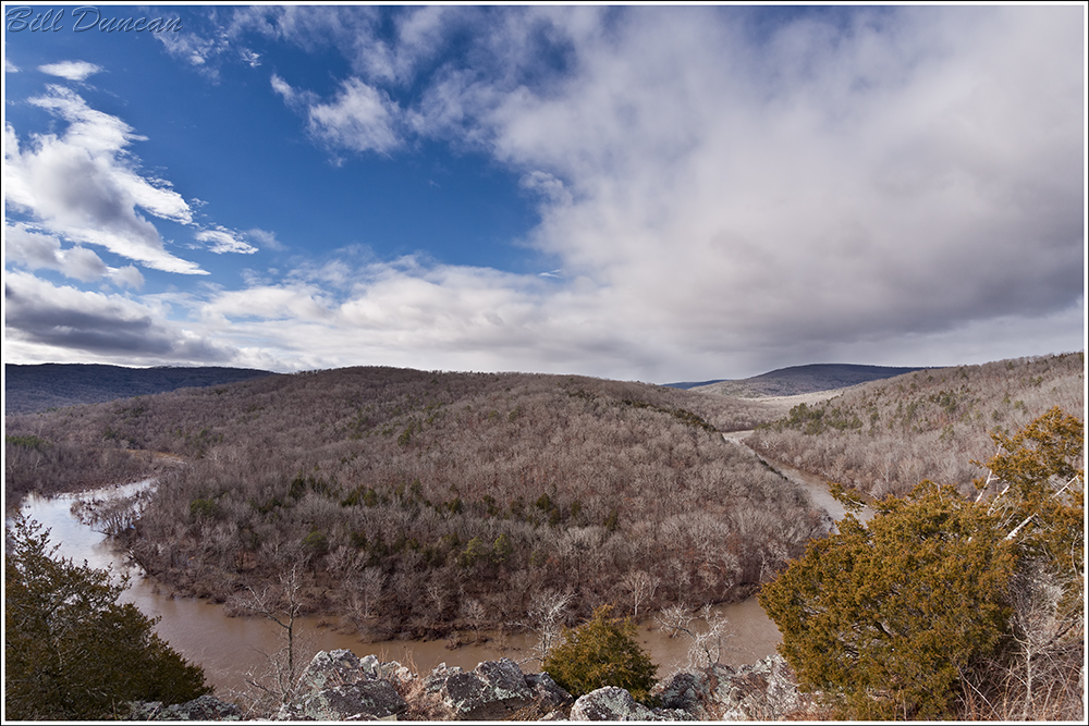
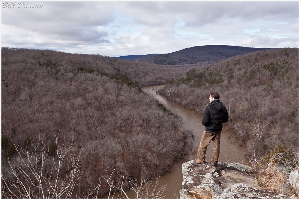
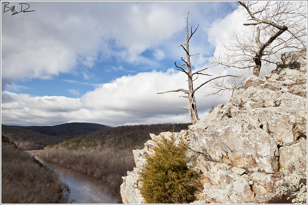
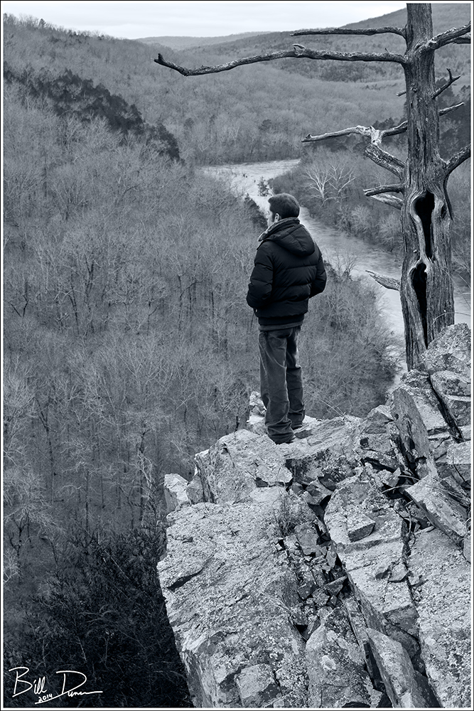
I started my autumn vacation early on a Saturday morning with a hike along one of the prettiest of Ozark Streams, the St. Francis River.  I was joined by my new friend, Stephen, who knows these waters quite well.  While I had previously visited a couple of the destinations I’ll be describing, I had long wanted to take the hike between two of Missouri’s great shut-ins – Tiemann Shut-Ins and those located downstream a couple miles at Silver Mines Recreation Area.  Stephen and I met at the trail head at the USFS Silver Mines Rec Area, located in Madison County near the towns of Fredericktown and Arcadia.

“Store of Summer Rains″
Technical details: Canon EOS 5D Mark II camera, EF24-105mm f/4L IS USM @ 58mm, ISO 100,  f/11, 2.5 sec

There is a relatively easy path between these two points, but Stephen and I followed along the river, jumping from boulder to boulder for most of the stretch.  We were pleasantly surprised arriving near dawn to find a nice blanket of fog.  While fog tends to lessen contrast considerably in a photographic frame of mind, the lighting helps those wonderful fall colors pop.  In person, eyes are drawn to a bright warm maple growing between riverside rocks.  Once my camera was out, we were in danger of spending the entire day within the first quarter mile of our hike.  I do appreciate Stephen’s patience as I took the time to set up the tripod and repeatedly dove into my bag to swap lenses.

“Solid Out of Liquid″
Technical details: Canon EOS 5D Mark II camera, EF24-105mm f/4L IS USM @ 58mm, ISO 100,  f/11, 1/5 sec, Orton processing in PS CS6

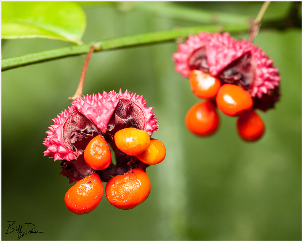
The St. Francis is one of the more productive of Missouri’s Ozark streams.  While this means you won’t see the crystal clear waters of the Black, Current, or Eleven Point, the mass of life and biological diversity is more obvious.  Moving along the banks one is forced to path-find between Ozark Witch Hazel and Sandbar Willow.  Organic matter deposited on rocks makes food for algae and makes any wet surface as slippery as ice.  A hike-ending fall was a possibility in the early part of the day.  More than 50 species of fish have been documented in this river and this stretch is home for the St. Francis Crawfish, an endemic species to the St. Francois Mountains and a species of conservation concern.

“Sweet Kisses″
Technical details: Canon EOS 5D Mark II camera, EF100mm f/2.8L Macro IS USM, ISO 400,  f/6.3, 1/25 sec

Although making Stephen a bit apprehensive, I was completely stoked that were able to cross paths with five cottonmouths, including this cute little juvenile.  This one I spotted almost on the trail as he flapped his bright-white mouth at me, mere inches from my boot.  My first thought was of a small moth or butterfly flapping its wings in alternating bright dorsal and dull ventral aspects.  Taking a second, closer glance I was able to pick out this well-camouflaged beauty.  I think Stephen will pay me well to save the story of what happened when we came upon a larger relative of this guy in the crevice of a couple of boulders.  😉

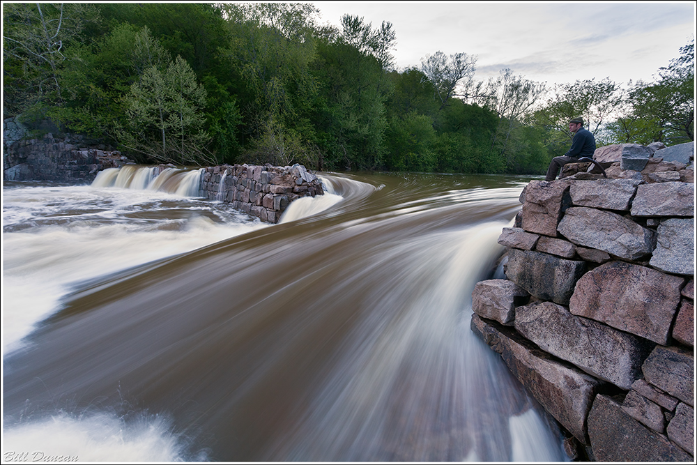
“Einstein Mine Dam On The St. Francis″
Technical details: Canon EOS 5D Mark II camera, EF24-105mm f/4L IS USM @ 65mm, ISO 100,  f/11, 1/25 sec

Here you have a view of the granite block dam built to supply power to the milling operations of the nearby Einstein Mine.  The mine did not last long and is now a nice home for bats.  Did you know that Missouri has almost continually been first in lead production of the USA for almost two centuries?  Today Missouri produces nearly 90% of the nation’s lead and 75% of its zinc as well as large amounts of iron, silver and copper.  This area is of great interest to geologists.  The rock you see in this post, primarily granites and rhyolites, are among the hardest and oldest exposed rocks on the planet.

“Endless Forms Most Beautiful And Most Wonderful″
Technical details: Canon EOS 5D Mark II camera, EF24-105mm f/4L IS USM @ 67mm, ISO 100,  f/13, 0.6 sec

Many thanks to Stephen for being a great guide and showing me a lot along this hike.  I definitely would not have been able to find as much on my own.  We passed Mud Creek Shut-ins and eventually found ourselves at Teimann Shut-Ins, described as the largest shut-ins in Missouri.  Located within Millstream Conservation Area, Teimann SI is truly impressive.  This spot has a great deal more potential than Johnson’s SI for photography and is on a much larger scale.  I do not know for certain, but I imagine Stephen is contemplating the diverse biological community and if these “endless forms most beautiful and most wonderful” go about their existence without contemplating us.

“Wayward Rivulets In Autumn Flowing″
Technical details: Canon EOS 5D Mark II camera, EF24-105mm f/4L IS USM @ 40mm, ISO 100,  f/16, 1 sec

It took almost the entire day to meander over the boulders to Millstream Gardens.  It was getting so late that in the end, we took the relatively straight and flat trail back to our cars, arriving just after sunset.  We topped it off with a nice meal in nearby Farmington.  I couldn’t have asked for a better way to start off my autumn break.  This was just the beginning to a fun week across the Missouri Ozarks.  I look forward sharing more real soon.